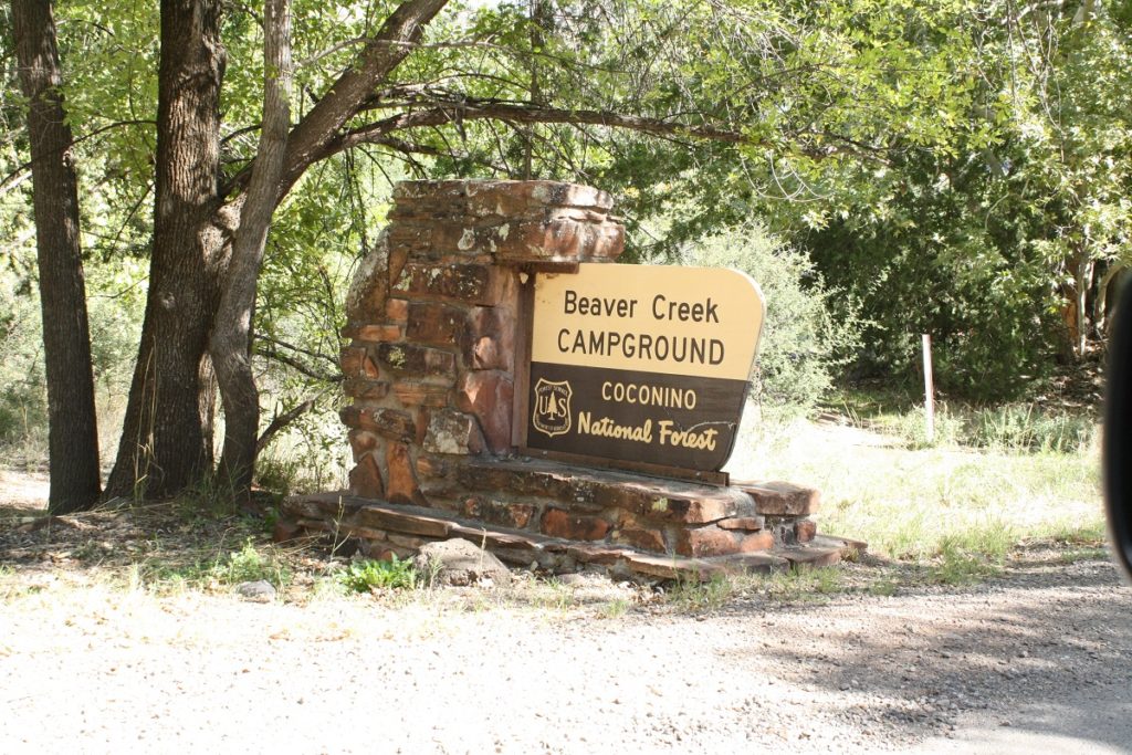
Beaver Creek Site
 Description: This site is actually next to the Beaver Creek Ranger Station and the Beaver Creek Campground. There is ample birding to be had at the campground itself. However, there is a long trail (excellent hiking for the first few miles) which runs along the creek side habitat. Cottonwoods and Sycamores dominate the area itself which is somewhat within a shallow canyon. Description: This site is actually next to the Beaver Creek Ranger Station and the Beaver Creek Campground. There is ample birding to be had at the campground itself. However, there is a long trail (excellent hiking for the first few miles) which runs along the creek side habitat. Cottonwoods and Sycamores dominate the area itself which is somewhat within a shallow canyon.
Administrative Agency: Coconino National Forest – Red Rock District Restrictions and fees: trail access is free and unrestricted. The campground itself requires a usage fee for overnight stays. Elevation: 3855′ Ease of road access: Paved road up to last 110yds to the parking lot Ease of hiking access: First two miles are very easy; eventually the trail gets rocky. Approximate area size: 2 miles along Beaver Creek. |
| Parking facilities: Excellent parking lot; restrooms on-site. | Frequency of use by public: Can be heavily used on the weekends. |
| eBird Species List: Click Here | Non-bird Interests: Camping at Beaver Creek Campground app. 3/4 mile beyond trailhead. |
| Coconino National Forest Page: Click Here |
Beaver Creek Site Map: Click Here |
Please scroll down for a photo tour
For a valley-wide interactive map of more hot spots, click here: <a href=”https://verdevalleybirding.com/an-interactive-map-of-the-verde-valley/”>An Interactive Site Map – Birding in the Verde Valley (verdevalleybirding.com)


